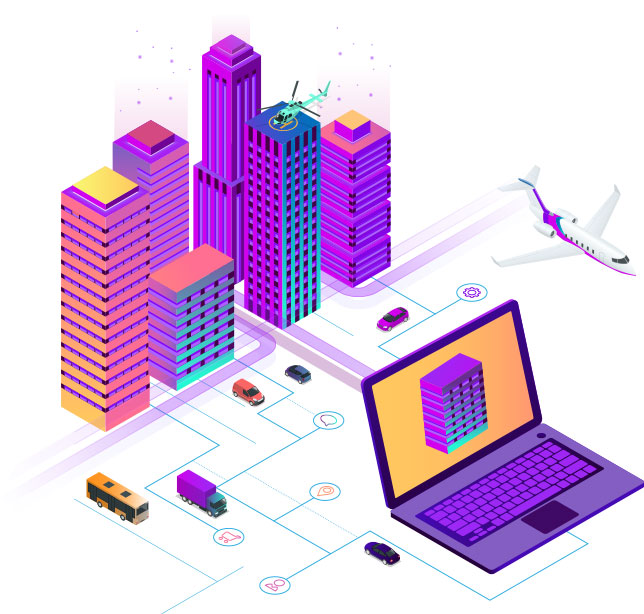
Make a city smart
So how do we make our cities smart? We have the savoir-faire of GIS. What is the next step? Nascent Info Technologies’ answer to this query was in the form of CityLayers, a suite of applications that leverage GIS technology to search, view, discover, edit and manage the metadata catalogue of all assets within a city in a spatial format. It comprises of a Departmental Geoportal, Citizens’ Portal, a mobile Survey App, and a CityLayers built-in connector for QGIS. All of these cater to the requirements of multiple departments within Municipal Corporations of various cities across Gujarat.
DATA MUCH?
Dealing with large volumes of varied information is cumbersome and time consuming for city authorities. The problem is further compounded in a smart city with volumes of information generated by hundreds of thousands of devices. However, CityLayers is equipped just with the right tech to handle such challenges. Using DSS, it transforms geospatial data from its existing format into a user-friendly, digitized version whose heightened visual experience promotes fast, efficient and informed decisions. CityLayers provides quick access to spatial data, visualization and analytical capabilities over a web browser.
G LEAVES E BEHIND
India is steadily improving upon its administration systems through the implementation of e-governance. However, the new buzz word in the world of governments is g-governance where ‘g’ stands for geo. Municipal corporations across the state have employed CityLayers in order to supplement their e-governance and radicalize city maintenance. At the click of a button, the CityLayers Departmental Geoportal can conjure up a bird’s eye view of the city and its resources. This enables officials to recognize opportunities for growth and expansion, to deploy effective measures for upkeep of city assets, and take faster and more informed decisions.
ALL FOR ONE, ONE FOR ALL
If the government is ‘of, by and for’ the people, where is the citizens’ say in g-governance? Well, CityLayers has made provisions for said concern. The CityLayers Citizen Portal is a web-based application whose main objective is to bring the citizens closer to digital maps for understanding their location, nearby facilities and surrounding areas, so that they are better placed to make location-specific decisions. The portal also aids Municipal Departments to offer prompt responses to citizens’ grievances and effect efficient and timely measures in order to counteract emergencies.


